Ground-Truthing Surface Currents in the Saint John Harbour, Bay of Fundy
A bit about the project
In order to be successful in the Bay of Fundy, inshore commercial fishermen must have a vast and detailed knowledge of surface currents. These currents determine how they cast out fishing gear and when they can retrieve their gear. This knowledge base is intergenerational; passed down from parent to child. Although there has been oceanographic study of Bay of Fundy currents, the data to date is limited and does not contain the level of detail and richness that the fishermen’s knowledge affords. Because of this, the main focus of the study was to update the scientific knowledge on currents.
Objectives
-
Enhance the scientific knowledge base of oceanographic currents in the Bay of Fundy through engaging fishermen’s knowledge
-
Document the state of knowledge (both fishermen’s and science-based) regarding surface currents
-
Enhance the decision-making capability through generating increased data and available knowledge on surface currents
Results
By documenting fishermen’s knowledge and comparing it to how closely it matched observational data from drifter deployment, the project has also successfully ground-truthed the data collected on fishermen’s knowledge over the course of the program, so that it can also inform trends in oceanographic conditions around Saint John Harbour. We have demonstrated that harvester knowledge is a reliable source of information when determining trends for dispersion from SJH. This knowledge has been documented and can be used to enhance the decision-making capability by employing this knowledge source.
Types of Drifters
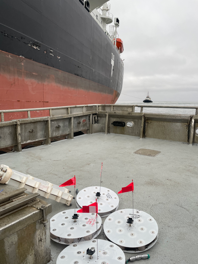
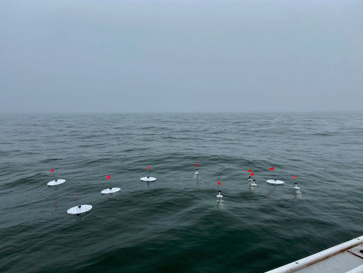
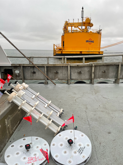
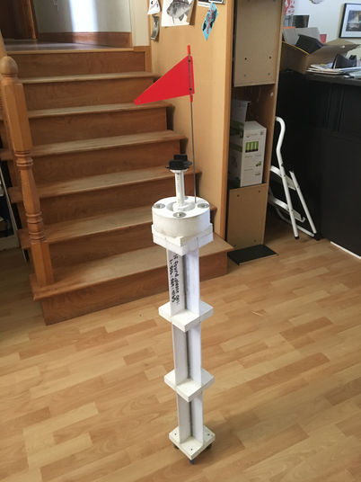
To ground-truth the current trends from harvesters, a secondary method was employed to experimentally map currents based on real time data collection. This was achieved by designing two types of drifters; a long drifter that sits one meter in the water column and is strongly influenced by surface currents and a disk drifter which sat in the top 5 inches of water and was more strongly influenced by wind.
Path of the drifters

Figure 1 Drifter release started on March 20, 2021. Red = disk drifters; blue = long drifters.

Figure 3 Drifter release started on August 19, 2022. Red = disk drifters; blue = long drifters.

Figure 2 Drifter release started on November 26, 2021. Red = disk drifters; blue = long drifters.

Figure 4 Drifter release started on August 10, 2020. Red = disk drifters; blue = long drifters.

Figure 5 Drifter release started on August 31, 2020. Red = disk drifters; blue = long drifters.
For more information on the Saint john Currents you can go to the story map. https://storymaps.arcgis.com/stories/ff001f20216846ea8deab3919de35d80


